Dichotomy of industry and nature.

Project idea
Point, line and surface - Wassily Kandinsky's theory of art as a strategy for the development of dichotomous landscapes of the Port Island.
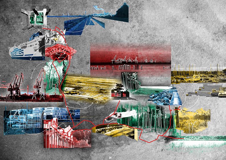
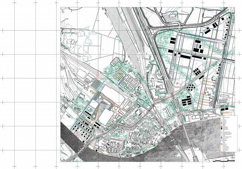
Port Island is a strategic point on the map of Gdansk. The western part, for centuries strongly related to industry, is functionally and spatially contrasted with the eastern valuable green areas. The close proximity and efficient public transport ensure that the island is easily accessible from the main town. The dunes and beaches in the north, with a peculiar view of harbour cranes, which are Gdansk's trademark, encourage relaxation in the bosom of nature. The complexity of the Port Island issue is illustrated by its notation in the form of a psychogeographic map. The diagram contains a graphic representation of the abstract image of thoughts and impressions formed after visiting a place. We remember points - monuments, places, elements between which we move linearly - by foot, by means of transport, and during the movement some elements merge into surfaces - wholes composed of parts similar to each other.
The landscapes of the Port Island, unique in their diversity, are served in the project both as a canvas for the painter, providing a background for the development changes, and as elementary parts of the art work, in the form of an appropriate record of the action’s direction.
Project description
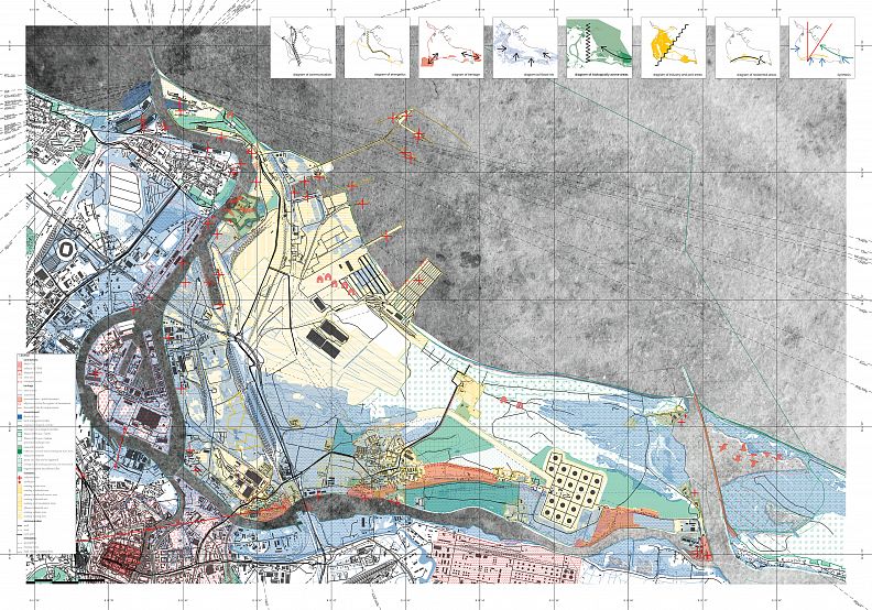
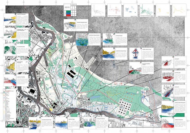
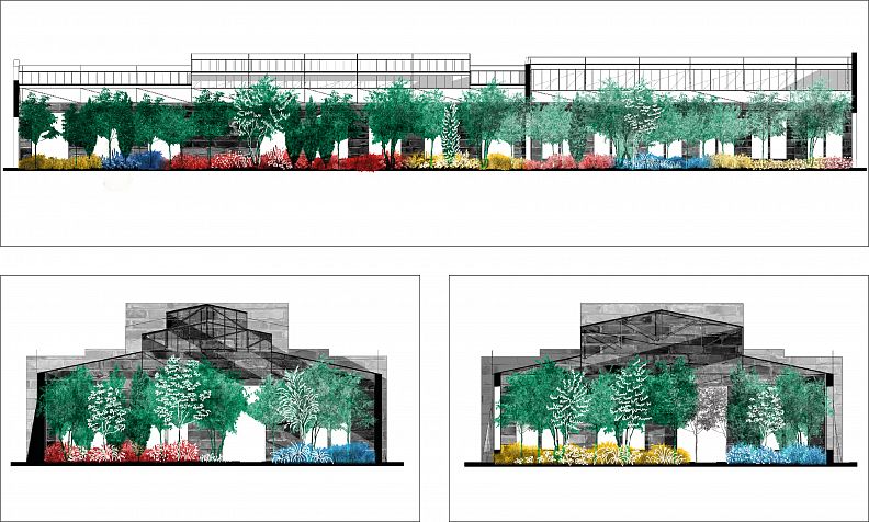
The dichotomy of cultural-natural heritage and thriving-developing industry is what makes the Port Island unique. Ensuring their harmonious coexistence requires identifying a strategic development backbone that takes into account the existing potential and uses it for future functional and spatial solutions. This kind of actions can take the form of a record which uses the elementary components of a painting work, as defined by Wassily Kandinsky - a point, a line and a plane. The proposed directions of development written on a blank sheet of paper constitute an independent composition, but when translated into a map they become a graphic record of specific interventions. In this way a catalogue of solutions is created, the framework of which is described by a graphic symbol. Among the point solutions we can distinguish e.g. the linear ones include points of land art or view towers, pedestrian and bicycle landscape axis, and plane ones - hydroparks, which are at the same time flood protection.
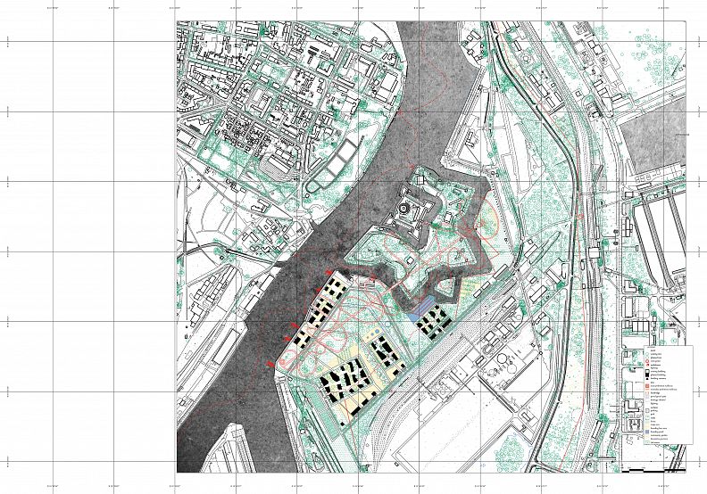
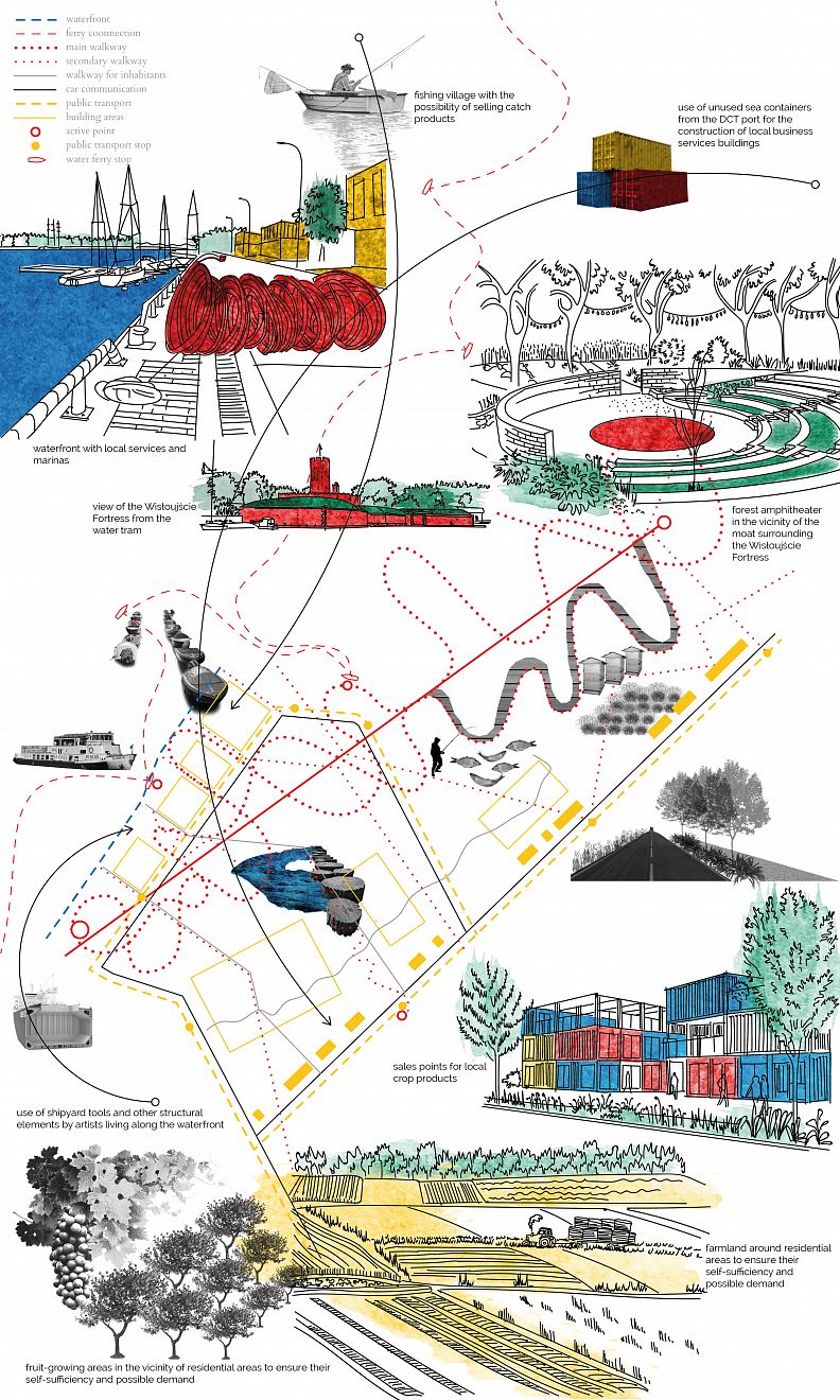
The area around Wisłoujście Fortress was solved in an analogous way. Its compositional record is characterized by the presence of the moat contour. A seemingly dead spot on the map of Gdansk could become an active development area which takes into account the past and the tradition of the area - the fishermen's housing estate and the New Hel housing estate, at the same time oriented towards technical and artistic innovations, making use of the close neighbourhood of the shipyard. An important element is a green wedge as a continuation of the Nature 2000 area, and a viewing tower, using and emphasizing the identity of the place.
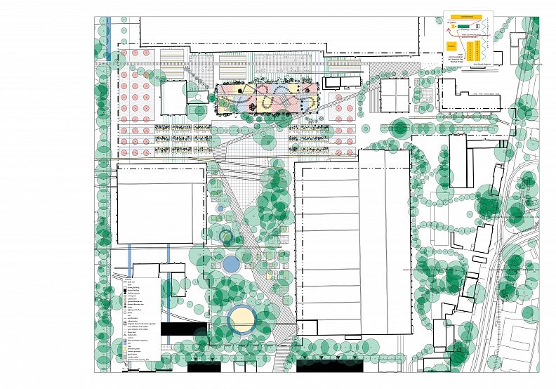
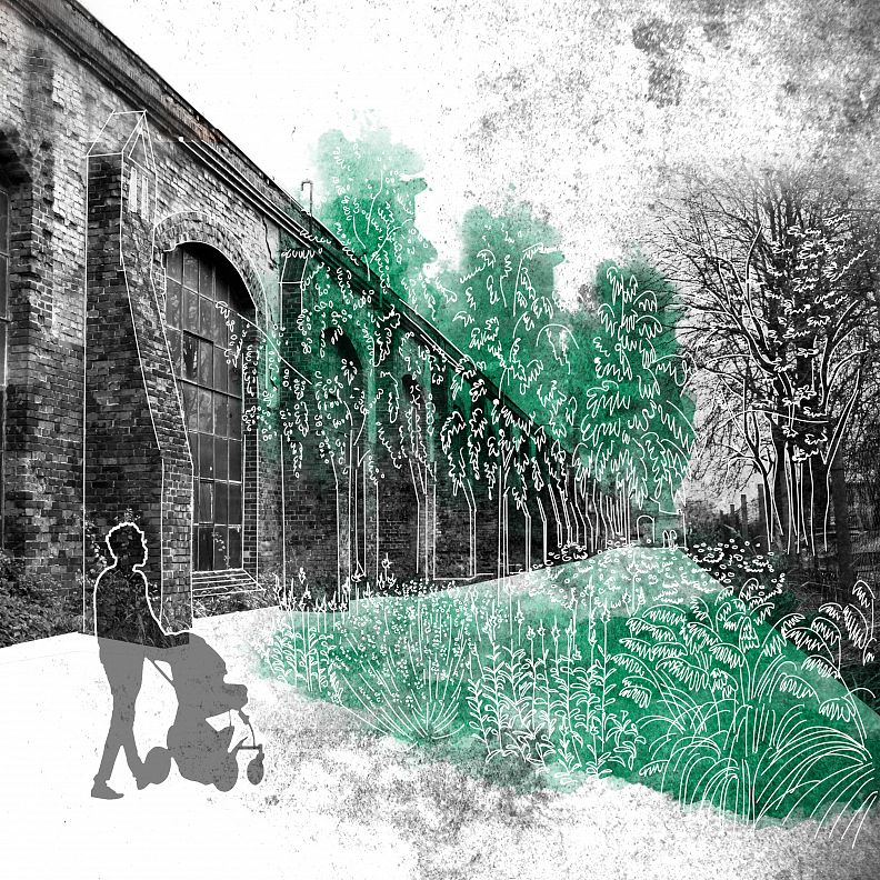
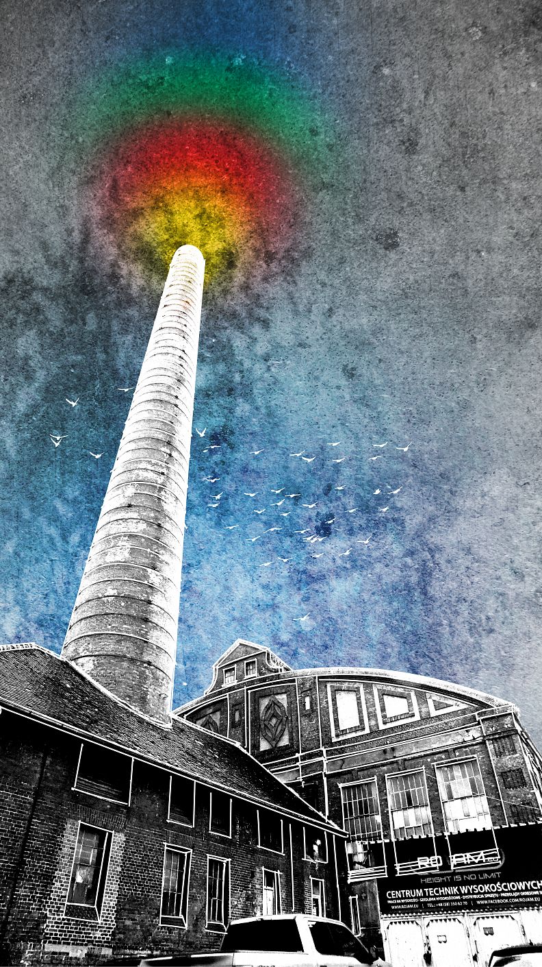
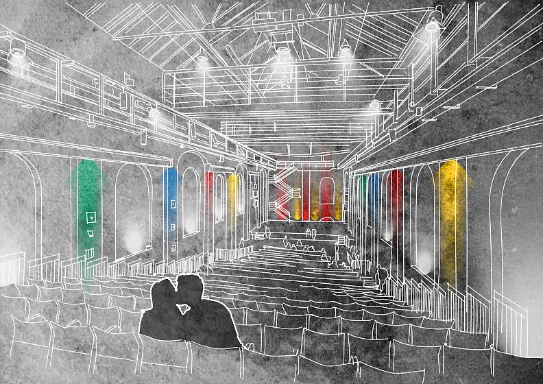
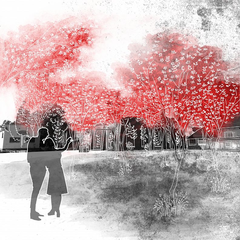
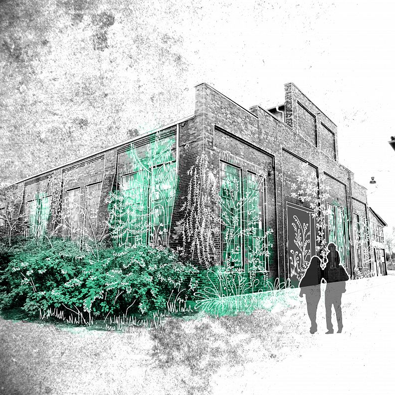
Such a compositional solutions can also be applied in the process of creating a cultural zone in the Przeróbka, where the free-form lines correspond to the location of free-forming greenery. Giving a new character, making use of the post-industrial space’s identity could help to change the connotation of the place and provide a place for inhabitant’s social and economic activation. At the same time, the high culture’s introduction to increase the recognition and attractiveness of the place among the residents of Gdansk and tourists.
Technical information
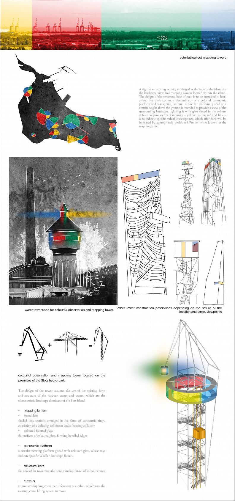
A significant point activity planned at the island’s scale are the landscape viewing-mapping towers, placed at the crucial and valuable areas. The design of the structural base of each is to be entrusted to local artists, but their common denominator is a colourful panoramic platform and a mapping lantern. A circular platform, placed at a certain height above the ground is intended to provide a view of the surrounding landscape. Glazing it with glass tinted in the colours defined as primary by Kandinsky - yellow, green, red and blue, is supposed to indicate specific valuable viewpoints, which after dark will be indicated by appropriately positioned Fresnel’s lenses located in the mapping lantern.


